


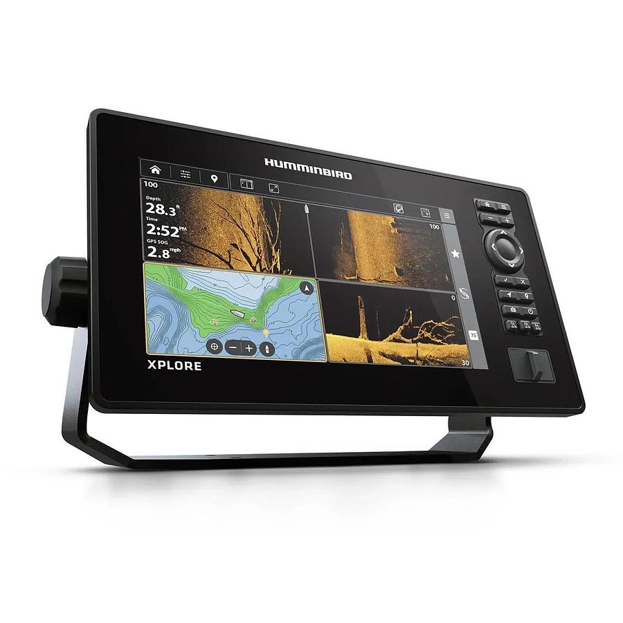


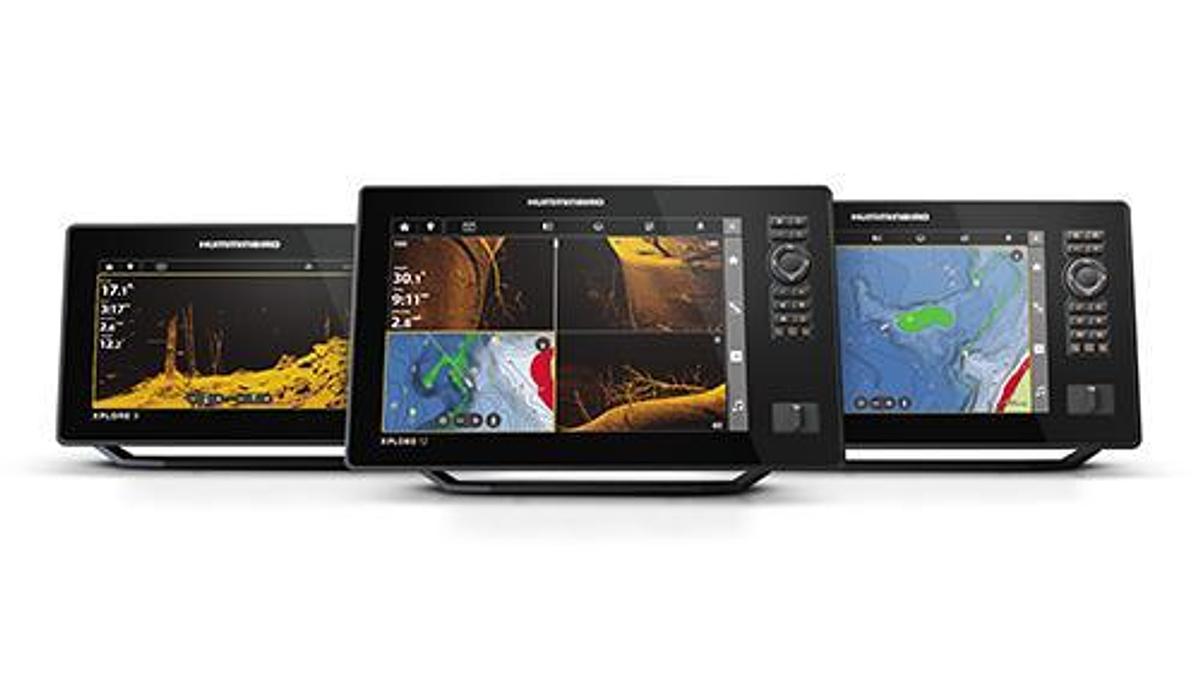
XPLORE
$2,299.99
Description
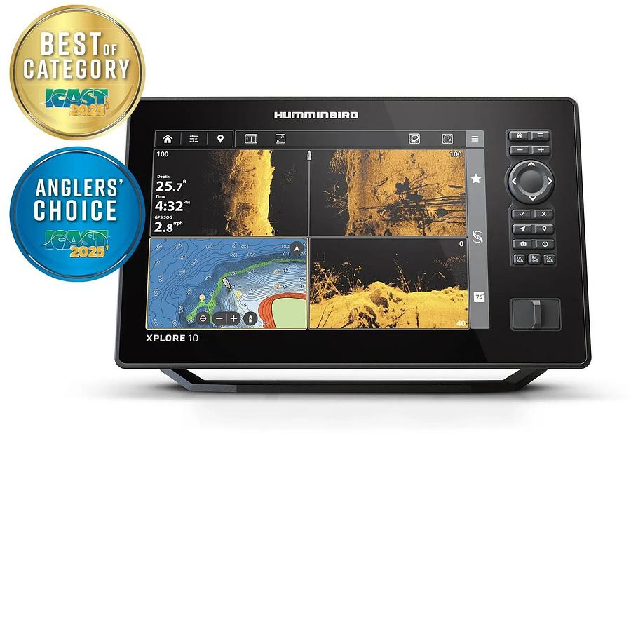
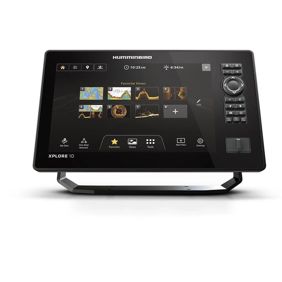
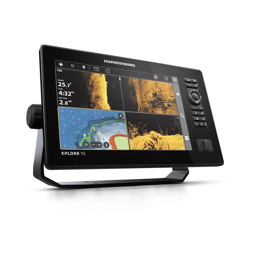
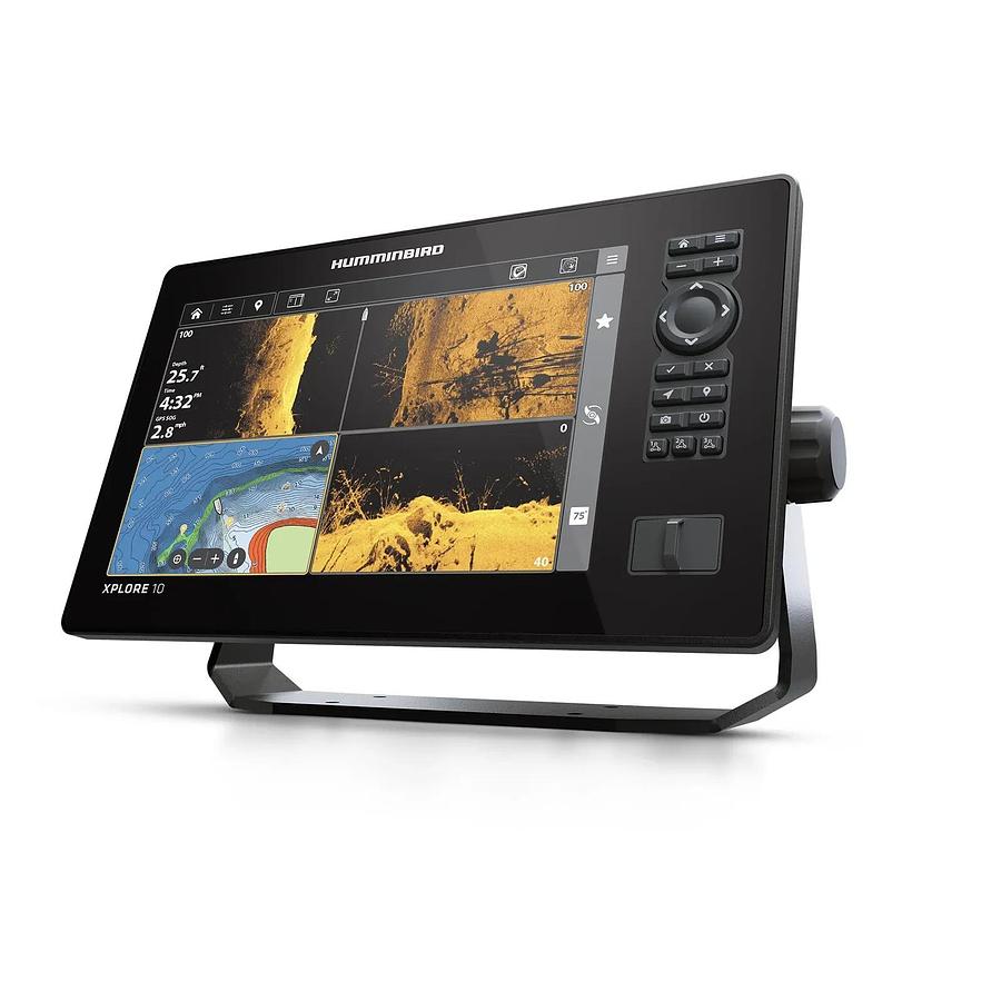
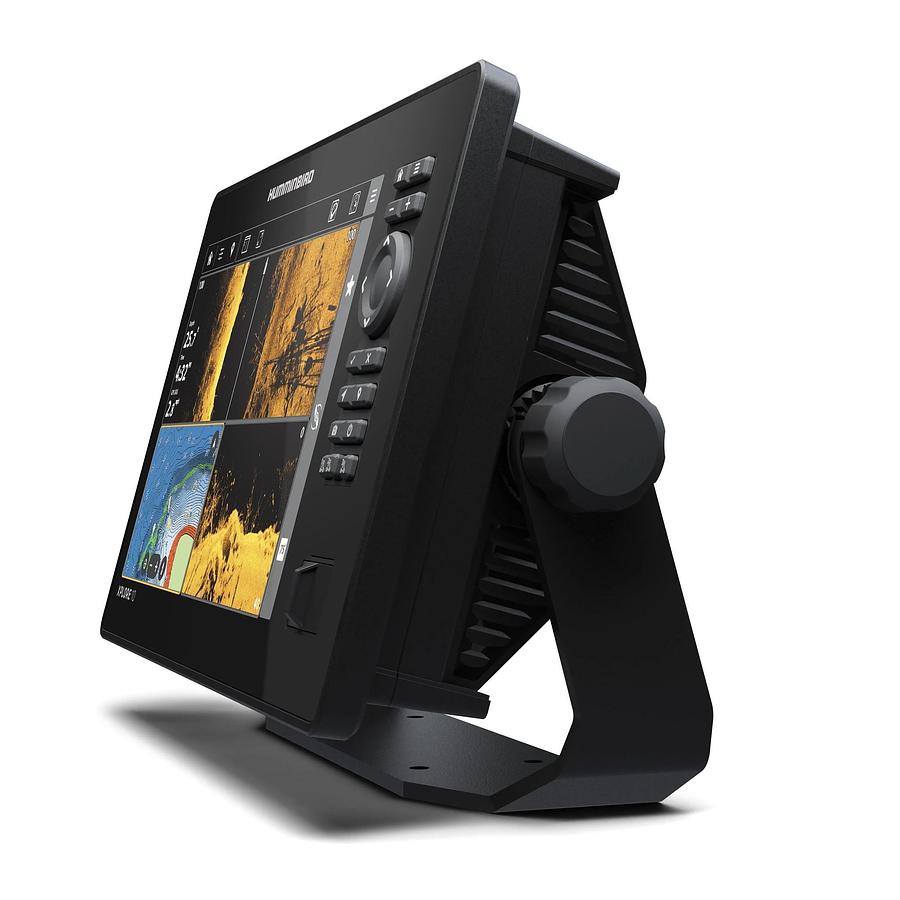
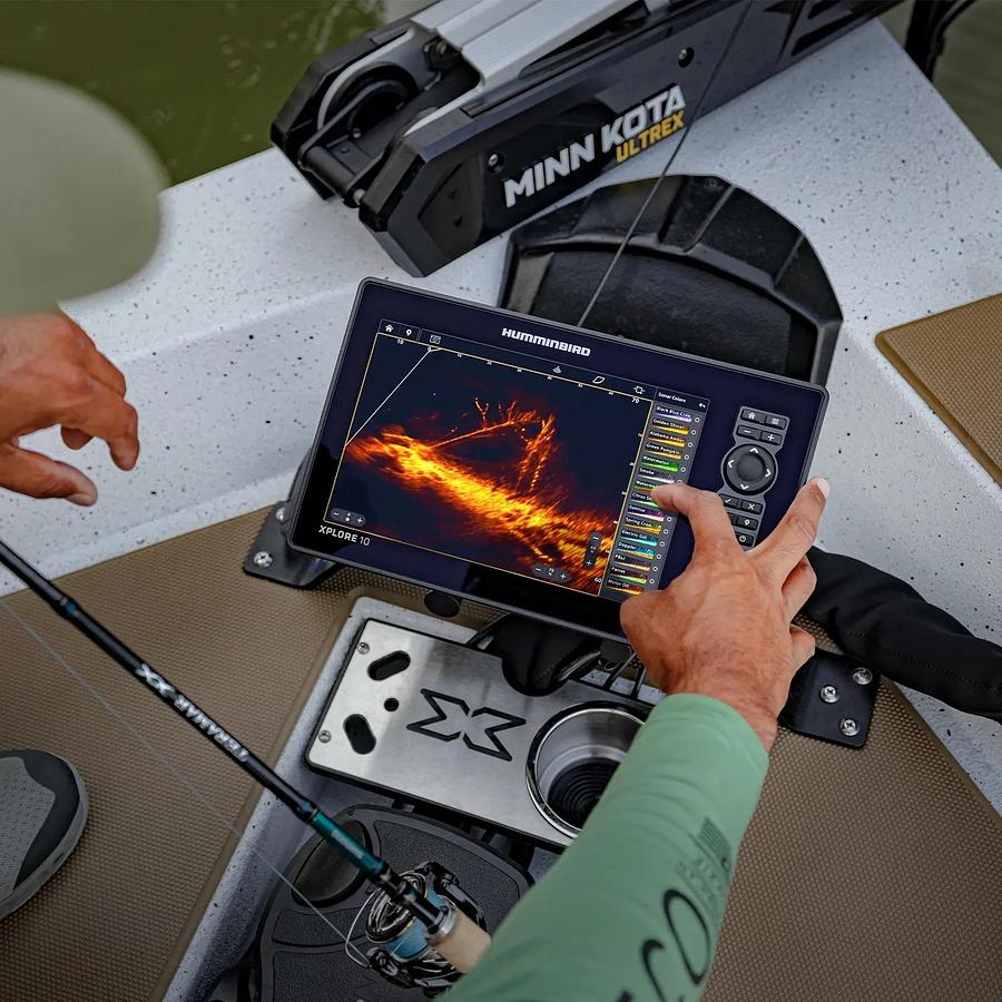
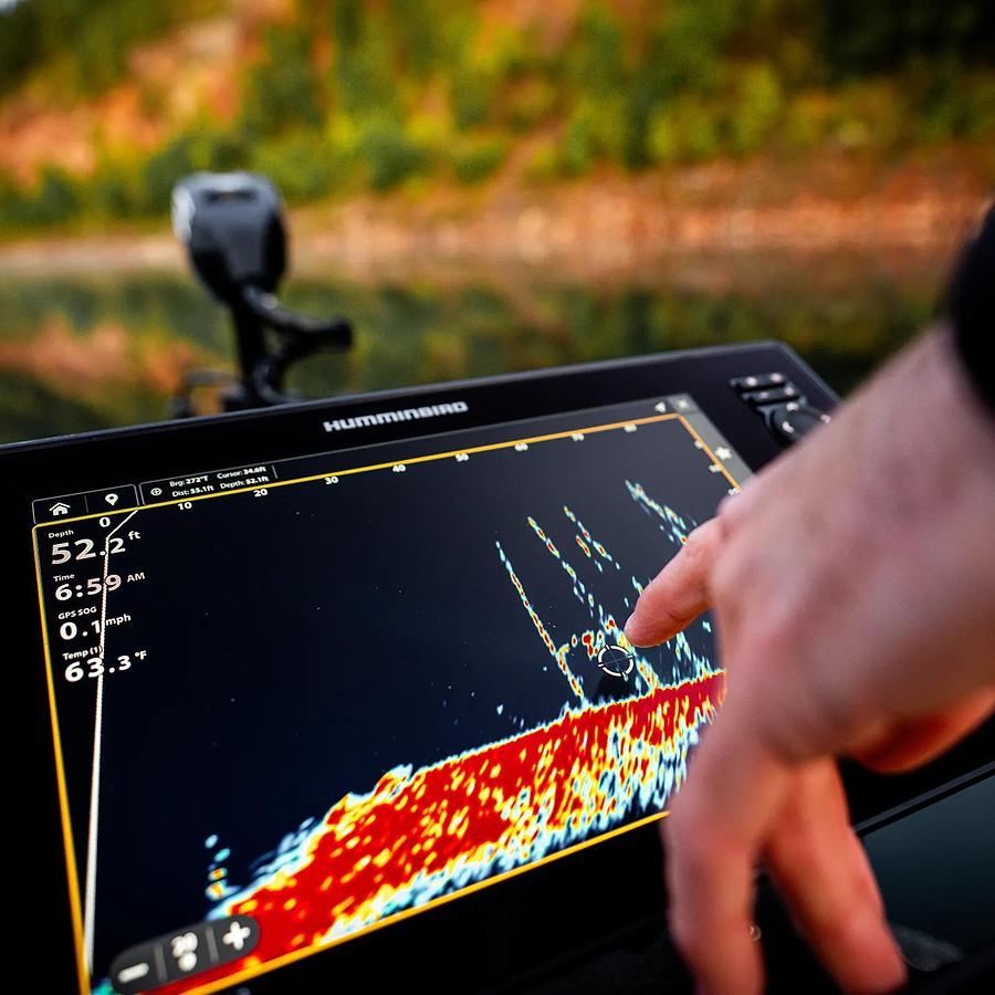
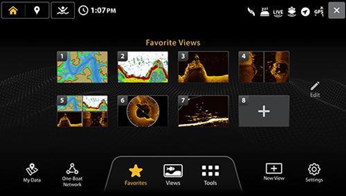
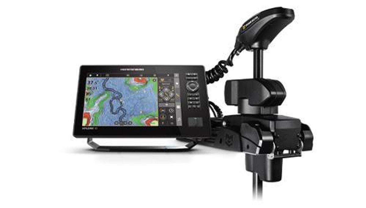
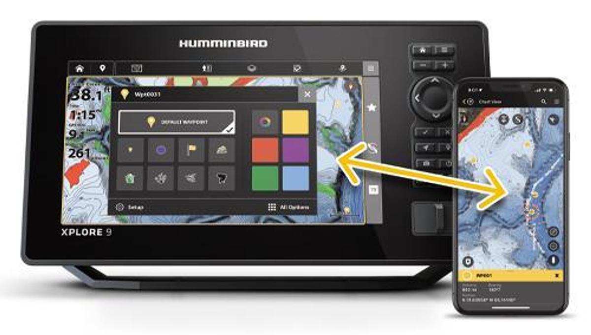
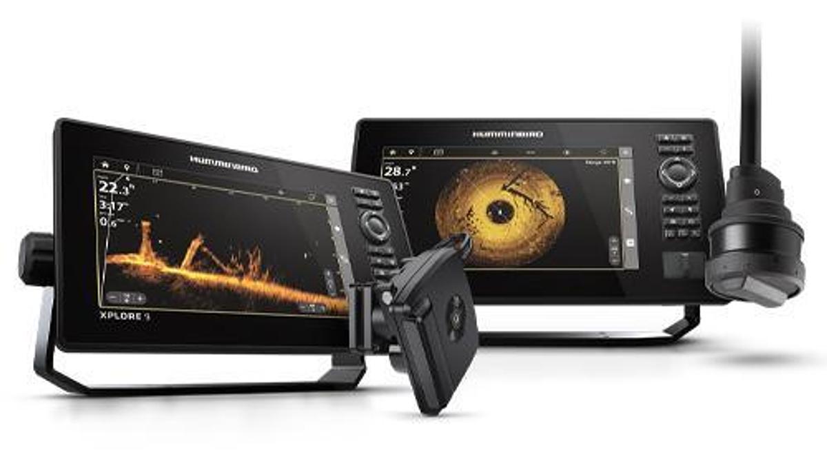
THE XPLORE 10 CMSI+ features a 10” ultra-clear display with intuitive Cross Touch, MEGA Side Imaging+, MEGA Down Imaging+, Dual Spectrum CHIRP Sonar and internal GPS with Humminbird Basemap. Unique to XPLORE Series is the inclusion of Humminbird LakeMaster and CoastMaster map card with 13 regions in the United States and Canada. This XPLORE 9 CMSI+ model includes Wi-Fi, NMEA 2000, Bluetooth and Ethernet networking for compatibility with the One-Boat Network family of products from Humminbird, Minn Kota and Cannon.
Specifications
| Manufacturer | Humminbird |
| Model | XPLORE 10 CMSI+ Fish Finder |
| Condition | New |
| Stock Number | 412010-1 |
| Series | XPLORE |
| UPC | 0082324058677 |
| As shown MSRP | $2,299.99 |
| Display Size - Diagonal | 10.1 in |
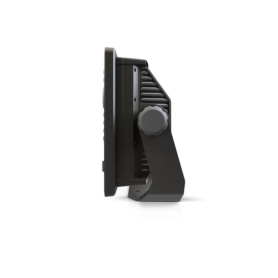
| Length | 12.1 in | 30.73 cm |
| Height | 7.25 in | 18.41 cm |
| Width | 3.3 in | 8.38 cm |
| Weight | 4 lb 12 oz | 2.15456 kg |
| Display Pixel Matrix | 1280H x 800V |
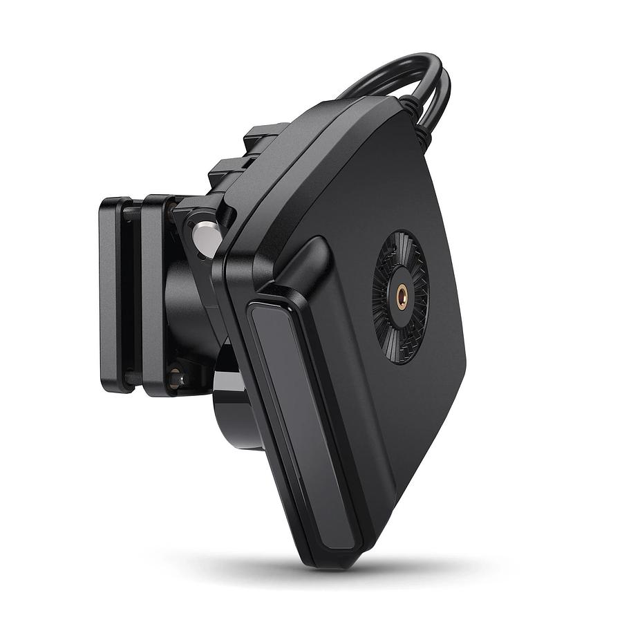
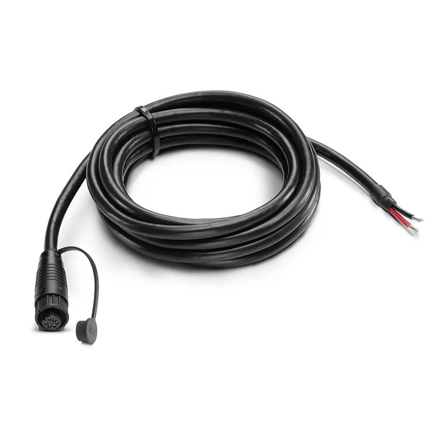
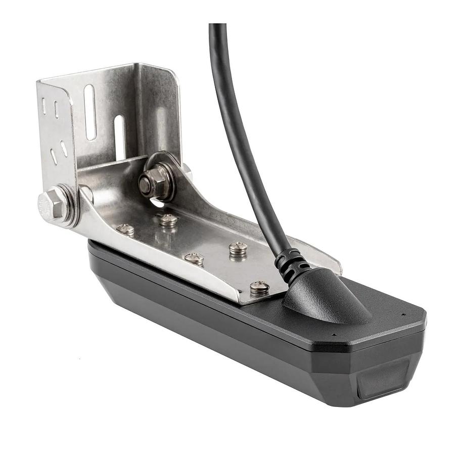
| Transducer Included | XM 14 HW CMSI T |
| Compatible With | Minn Kota US2 Sonar, Minn Kota Built-In MEGA DI, Minn Kota Talon/Raptor, Minn Kota i-Pilot Link, Minn Kota Built-In MEGA SI, MEGA Live, NMEA 2000, MEGA 360, Radar, One-Boat Network, MEGA Live 2 |
| Features | Touch Screen, Networking, Down Imaging, Built In GPS, Bluetooth, Side Imaging, Dual Spectrum CHIRP, Built In Mapping, MEGA Imaging+, Wi-Fi, MEGA Imaging |
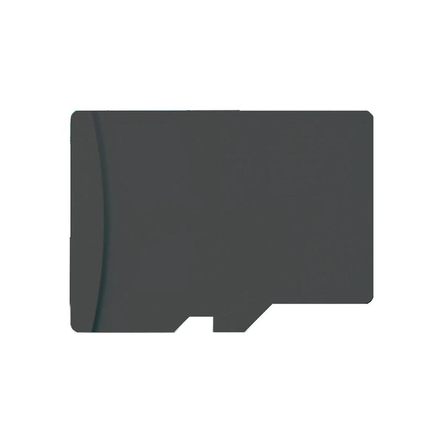
| Memory Card Slot | Dual Micro SD |
| Sonar-Standard | Dual Spectrum CHIRP, MEGA Side Imaging+, MEGA Down Imaging+ |
| Sonar-Coverage | 20°, 42°, 60°, (2) 86° & (2) 55° @ -10dB |
| Sonar-Optional | 50/83/200 kHz, Airmar High, High Wide, Medium, Medium Wide, and Low |
| CHIRP - Frequencies Supported | Narrow Mode (180-240 kHz), Wide Mode (140-200 kHz), Full Mode (150-220 kHz) |
| Sonar-Frequencies Supported | 50/83/200/455/800 kHz, HW DSC CHIRP, and MEGA |
| Depth-Sonar | 3,500 ft (optional 50 kHz), 1,200 ft (standard transducer) |
| CHIRP - Imaging Frequencies Supported | 455 kHz SI+ (405-505 kHz), 455 kHz (420-520 kHz), MEGA SI+ (1050-1175 kHz) |
| Depth-Down Imaging | 200 ft (MEGA), 400 ft (455 kHz) |
| Range-Side Imaging (Side-To-Side) | 800 ft (455 kHz), 400 ft (MEGA) |
| Interface | Touch Screen, Keypad Control |
| Power Draw | 2.2 Amps |
| Power Input | 10.8-20 VDC |
| Power Output Peak-to-Peak | 8000 Watts |
| Power Output RMS | 1000 Watts |
| Screen Snap Shot | Included |
| Sonar Recording | Included |
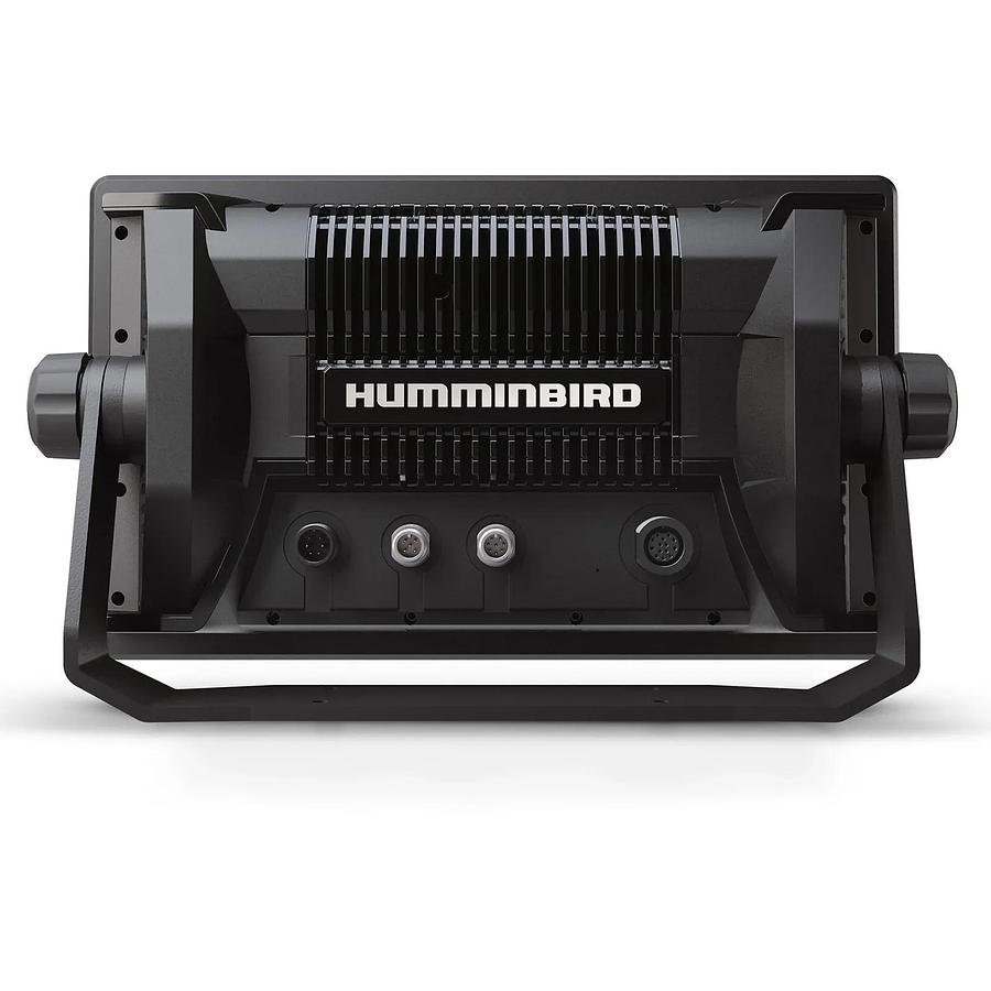
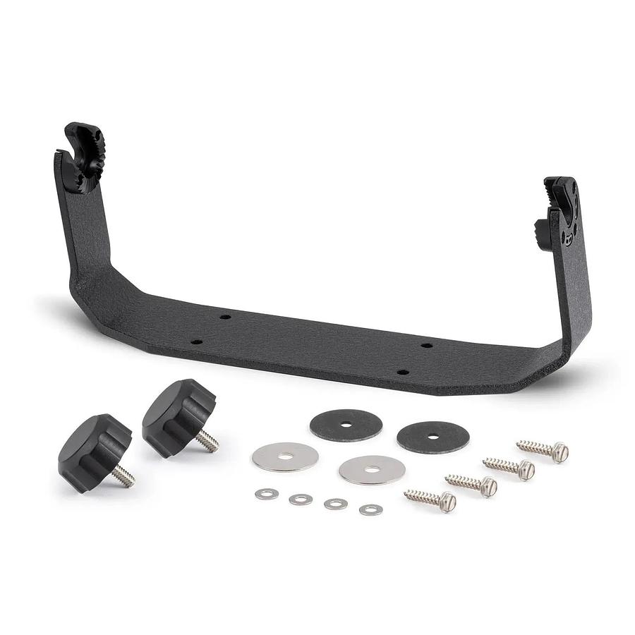
| Mount-Standard | Gimbal |
| Mount-Standard Size | 12.098 in W x 7.702 in H x 3.891 in D |
| Mount-Optional | In-Dash Mounting Kit |
| Mount-Optional Size | 12.098 in W x 7.702 in H x 3.891 in D |
| Transducer Mount Location | Transom |
| GPS Chartplotting | Included |
| GPS Receiver | Internal |
| GPS Trackplotting | Not Supported |
| Waypoints, Routes, Tracks/Points | 10,000, 50, 50/20,000 |
| 360 Imaging Compatibility | Yes |
| MEGA Live Compatibility | Yes |
| Humminbird Basemap | Included |
| LakeMaster Compatibility | Yes |
| CoastMaster Compatibility | Yes |
| Navionics Gold/HotMaps Compatibility | Yes |
| Navionics Platinum+ Compatibility | Yes |
| Platinum Compatibility | Yes |
| Minn Kota Advanced GPS Navigation Compatibility | Yes |
| Minn Kota i-Pilot Link Compatibility | Yes |
| Minn Kota Talon Shallow Water Anchor Compatibility | Yes |
| Radar Compatibility | Yes |
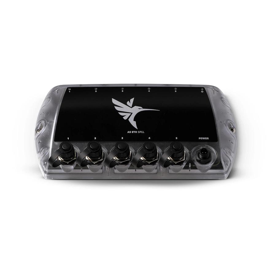
| 5-Port Ethernet Switch Compatibility | Yes |
| AIS Compatibility | Optional |
| Autopilot Compatibility | No |
| Heading Sensor GPS Compatibility | No |
| Heading Sensor GPS (NMEA 2000) Compatibility | Yes |
| NMEA2000 | Included |
| Target Separation | 2.5 in |
| Upgradable Software | Yes |
| View Preset Keys | Yes |
| X-Press Menu System | Yes |
| Custom Digital Readout | Yes |
| Custom View Selections | Yes |
| Display Colors Grayscale | 24-Bit |
| Display Type | Color TFT |
| Speed | Included |
| Temperature | Built In |
| Temperature Alarm | Yes |
| Temperature Graph | Yes |
| HDMI Compatible | No |
| Warranty | Three-Year Warranty with Registration |
Documents
- 2022-humminbird-accessory-resource-guide-pdf
- humminbird-sonar-compatibility-guide-pdf
- 532793-1en_b-apex-solix-g3-operations-manual-pdf
- 532793-1fr_b-xplore-apex-solix-g3-operations-manual-pdf
- 532932-4-vx_global_eula_insert-pdf
- 532986_en-xplore-series-installation-guide-pdf
- 532995_en-xplore-quick-start-guide-pdf
- 532995_fr-xplore-quick-start-guide-pdf
- 532508-cmsi-transom-transducer-installation-guide-pdf